

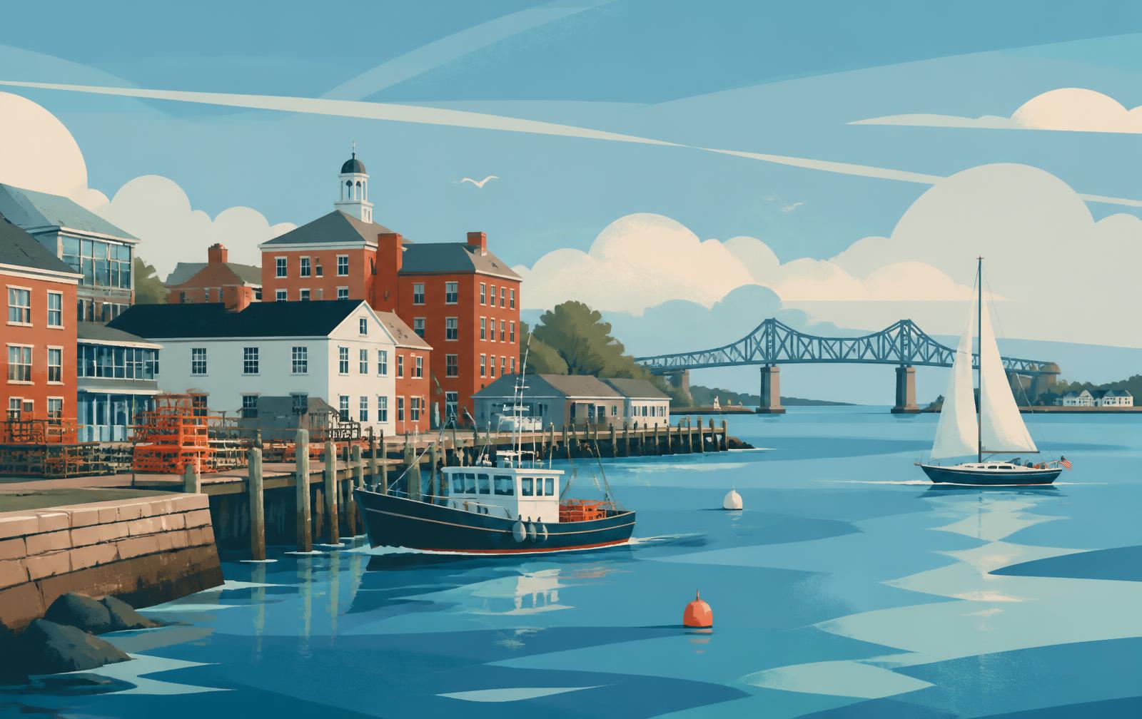
Greenland
An inland town between Portsmouth and Great Bay, on Route 33 and Route 151.
New Hampshire community guide
Portsmouth, the harbor towns on the Piscataqua River and the beach communities along New Hampshire's Atlantic coastline.
Understanding the area
This part of New Hampshire is built around Portsmouth, a small coastal city on the south bank of the Piscataqua River, and the towns that surround it — from the tidal edges of Great Bay to the beaches at Rye, North Hampton, Hampton and Seabrook.
Downtown Portsmouth is compact and walkable, with a working waterfront, restaurants and shops within a few blocks of the river. The surrounding towns range from village centers and older neighborhoods to residential roads, salt marsh and open coastline.
New Hampshire has roughly eighteen miles of Atlantic coastline, and most of it sits in this market. The Piscataqua River forms the border with Maine and empties into Portsmouth Harbor; Kittery, Maine sits directly across the river from Portsmouth and New Castle.
Inland, Greenland and Newington front Great Bay, the tidal estuary shared with the Exeter and Dover areas. Hampton Falls and Seabrook sit at the southern end of the coast near the Massachusetts line.
Housing here is varied. Portsmouth and New Castle include historic in-town homes and converted buildings alongside condominiums, while Greenland, Hampton Falls, North Hampton and Rye are largely made up of established single-family neighborhoods and rural residential roads.
Along the shoreline, the mix includes year-round coastal homes as well as seasonal and beach properties, and some condominium buildings directly on or near the water.
Interstate 95 runs the length of the market and crosses into Maine at Portsmouth. U.S. Route 1 and the Spaulding Turnpike carry local and regional traffic, and Route 1A follows the coastline through Rye, North Hampton, Hampton and Seabrook.
Portsmouth International Airport at Pease operates from the former Pease Air Force Base in Portsmouth and Newington. Amtrak's Downeaster does not stop in Portsmouth; the nearest stations on that line are in Exeter, Durham and Dover in the wider Seacoast, and Wells, Maine to the north.
Communities
An inland town between Portsmouth and Great Bay, on Route 33 and Route 151.
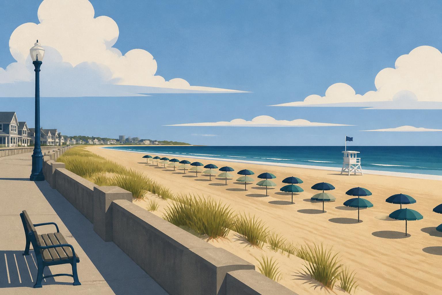
A beach town on the Atlantic, with a busy shoreline and inland neighborhoods.
A rural town just inland from the coast, between Hampton and Seabrook.
An island town at the mouth of Portsmouth Harbor, reached by bridge.
A small town on Great Bay and the Piscataqua, along the Spaulding Turnpike.
Between the coast and Route 1, with a village center and beach frontage.
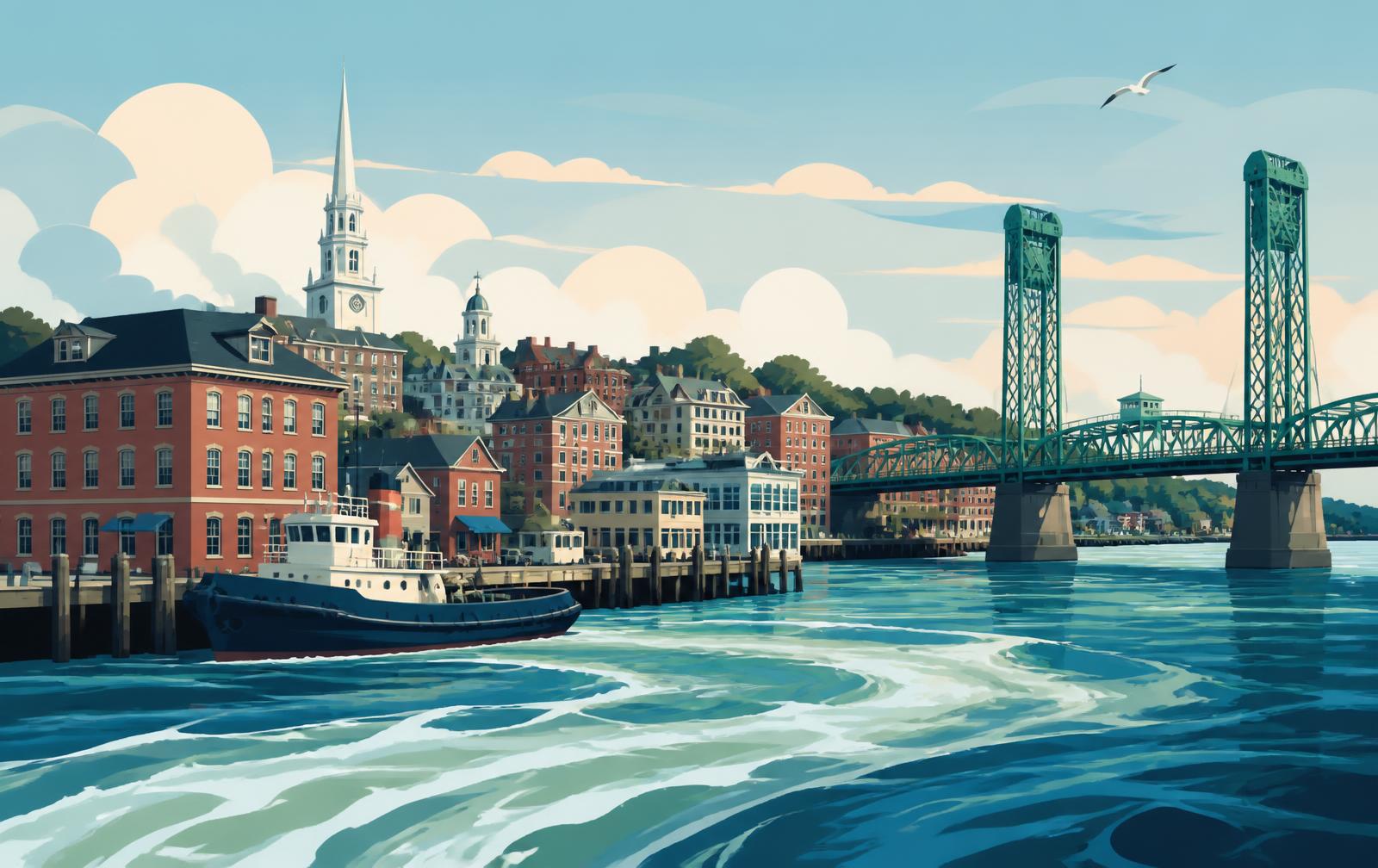
A coastal city on the Piscataqua River with a compact, walkable downtown.
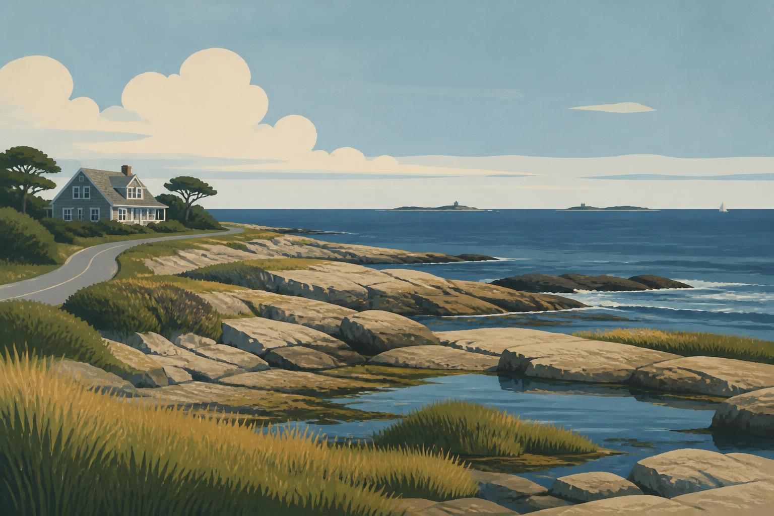
A shoreline town on Route 1A with beaches, marsh and residential neighborhoods.
At the southern end of the New Hampshire coast, on the Massachusetts line.
Homes
Search current listings across every city and town in this area, or start with a single community.
Talk with us
Bean Group agents work across New Hampshire and can walk through these communities with you, whether you are buying, selling or still deciding where to look.
Compare towns, read the relocation guides and build a plan for your move before you start touring homes.
The Exeter area and the tidal towns around Great Bay, between the coast and the I-95 / Route 101 corridor.
Dover, Rochester and Durham along the Spaulding Turnpike and the Cocheco and Salmon Falls rivers, with the University of New Hampshire at the center.