


Alton
At Winnipesaukee's southern tip, on Route 11 and Route 28.
New Hampshire community guide
Lake Winnipesaukee and the towns around its shoreline and bays, from Laconia and Meredith to Wolfeboro and Alton.
Understanding the area
Lake Winnipesaukee is the largest lake in New Hampshire, and this market wraps around it. Laconia sits on its southwestern bays, Meredith and Center Harbor on the northwest, Moultonborough and Tuftonboro on the north and east, Wolfeboro on the eastern shore, and Gilford and Alton to the south.
Beyond the shoreline the market reaches west to Belmont, Sanbornton, Tilton, Northfield and Franklin, south to Gilmanton, Barnstead and New Durham, and east to Ossipee, Effingham, Freedom, Wakefield, Brookfield, Sandwich and Tamworth.
Winnipesaukee's shoreline is long and irregular, with bays, coves and many islands. Lake Winnisquam, Lake Opechee and Paugus Bay lie to the southwest around Laconia, Lake Wentworth sits behind Wolfeboro, and Squam Lake is just northwest of Center Harbor.
The Belknap Mountains rise above Gilford and Alton, and the Ossipee Mountains form the ring of hills at Moultonborough and Tuftonboro. Ossipee Lake lies to the east, and the Sandwich Range stands to the north above Sandwich and Tamworth.
Interstate 93 runs along the western edge at Tilton and Franklin. Route 3 and Route 25 serve Laconia, Meredith and Center Harbor; Route 11 and Route 28 follow the southern and eastern shores through Gilford, Alton and Wolfeboro; Route 16 carries north-south traffic through Ossipee and Wakefield.
Communities
At Winnipesaukee's southern tip, on Route 11 and Route 28.
South of Laconia on Route 106 and Route 140, at Lake Winnisquam.
Between Lake Winnipesaukee and Squam Lake.
Where the Pemigewasset and Winnipesaukee rivers form the Merrimack.
On Ossipee Lake at the Maine line.
On the southern shore of Winnipesaukee, below the Belknap Mountains.
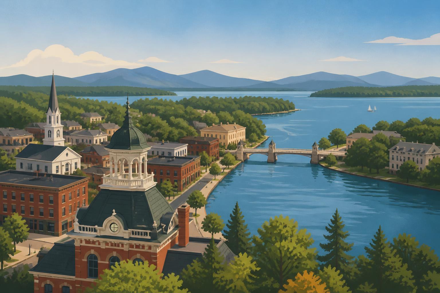
A city between Lake Winnipesaukee, Paugus Bay and Lake Opechee.
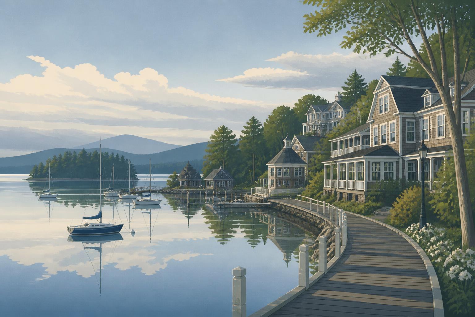
On Meredith Bay at the northwest corner of Winnipesaukee, on Route 3 and Route 25.
On Winnipesaukee's northern shore, beneath the Ossipee Mountains.
Southeast of Alton on Route 11, at Merrymeeting Lake.
Across the river from Tilton, on Route 132 and I-93.
On Route 16 and Route 25, at Ossipee Lake.
Between Lake Winnisquam and I-93.
North of Ossipee, beneath the Sandwich Range.
On the Winnipesaukee River at I-93.
On Winnipesaukee between Wolfeboro and Moultonborough.
Southeast of Ossipee, at Lovell Lake and Province Lake.
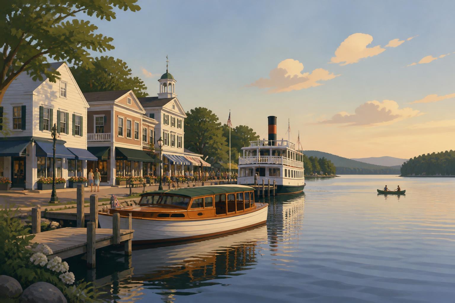
On Winnipesaukee's eastern shore, near Lake Wentworth.
Homes
Search current listings across every city and town in this area, or start with a single community.
Talk with us
Bean Group agents work across New Hampshire and can walk through these communities with you, whether you are buying, selling or still deciding where to look.
Compare towns, read the relocation guides and build a plan for your move before you start touring homes.
The state capital and the Merrimack River towns around it, where I-93, I-89 and Route 4 meet.
The western Lakes Region: Plymouth on I-93, Newfound Lake at Bristol and Hebron, and Squam Lake at Holderness and Ashland.